Ancient Roman Roads Were Longer Than Previously Thought, New Atlas Shows
Asthesayingwent, allroadsonceledtoRome—andthoseroadsstretched50%longerthanpreviouslyknown, accordingtoanewdigitalatlaspublishedThursday.
正如俗語所說,條條大路通羅馬——根據週四發布的新數位地圖集顯示,這些道路比之前所知的要長 50%。
ThelastmajoratlasofancientRoman roadnetworkswaspublished25 yearsago.
上一部關於古羅馬道路網絡的主要地圖集出版於25年前。
Sincethen, advancesintechnologyandothernewlyaccessiblesourceshavegreatlyexpandedresearchers’abilitytolocateancientroadways.
此後,技術的進步和其他新取得的資源極大地增強了研究人員定位古代道路的能力。
Overfiveyears, ateamofarchaeologistscombedthroughhistoricalrecords, ancientjournals, locationsofmilestonesandotherarchivaldata.
五年多來,一支考古學家團隊仔細查閱了歷史記錄、古代期刊、里程碑地點和其他檔案資料。
Scientiststhenlookedforcluesinsatelliteimageryandaerialphotography, includingrecentlydigitizedphotostakenfromplanesduringWorldWarII.
科學家隨後在衛星影像和航空照片中尋找線索,包括最近數位化的二戰期間從飛機上拍攝的照片。
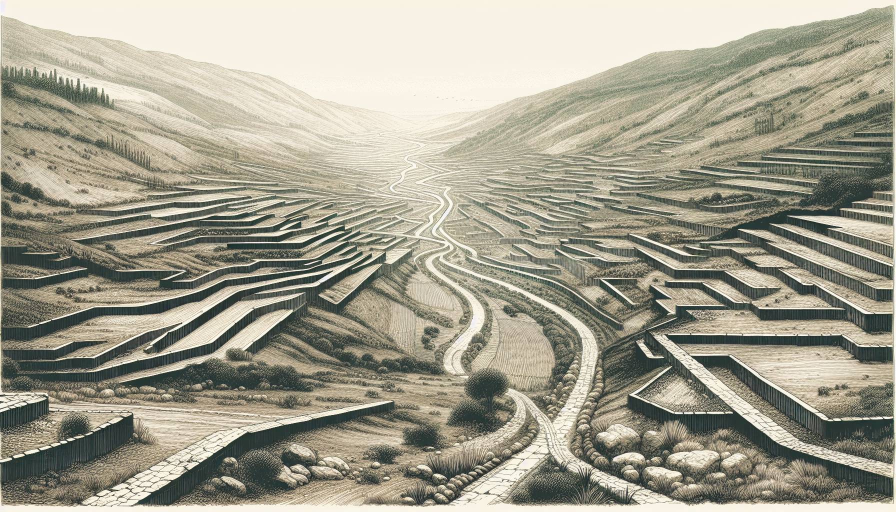
Whenancientaccountshintedatlostroadsinacertainarea, researchersanalyzedtheterrainfromabovetospotsubtletraces—thingslikefaintdifferencesinvegetation, soilvariationsorshiftsinelevation, aswellastracesofancientengineeringlikeraisedmoundsorcuthillsides—thatrevealedwhereRomanlanesonceran.
當古代記載暗示某個地區有消失的道路時,研究人員從高處分析地形,以發現細微的痕跡——例如植被的細微差異、土壤變化或海拔變化,以及古代工程的痕跡,如隆起的土堆或開挖的山坡——這些都揭示了羅馬小路曾經的走向。
“Itbecomesamassivegameofconnectingthedotsonacontinentalscale,” saidTomBrughmans, anarchaeologistandco-authorofthestudypublishedinScientificData.
「這變成了一場在大陸範圍內連接各個點的龐大遊戲,」考古學家、發表在《科學數據》上的這項研究的合著者湯姆·布魯曼斯說。
Thedataandaninteractivedigitalmaparealsoavailableonlineforscholars, historyteachersoranyonewithaninterestinancientRomanhistory.
這些數據和互動式數位地圖也已上線,供學者、歷史教師或任何對古羅馬歷史感興趣的人士使用。

Earlierresearchhadfocusedon“thehighwaysoftheRomanEmpire”— thelargethoroughfaresmostoftenmentionedinfamiliarhistoricalaccounts, saidBrughmans.
布魯曼斯說,早期的研究主要集中在「羅馬帝國的公路」上——也就是人們熟知的歷史記載中最常提到的那些寬闊的幹道。
Theupdatedmapfillsinmoreobscuredetailsabout“secondaryroads, likethecountrylanes, thatconnectedvillasandfarms”andotherlocations, saidBrughmans, who’sbasedatAarhusUniversityinDenmark.
布魯曼斯(Brughmans)在丹麥奧胡斯大學工作,他表示,更新後的地圖補充了更多關於「連接別墅和農場的次要道路,如鄉村小路」和其他地點的模糊細節。
ResearcherspreviouslytalliedtheextentofRomanroadsascoveringaround 117,163 miles (188,555 kilometers).
研究人員先前統計過,羅馬道路的總長度約為 117,163 英里(188,555 公里)。
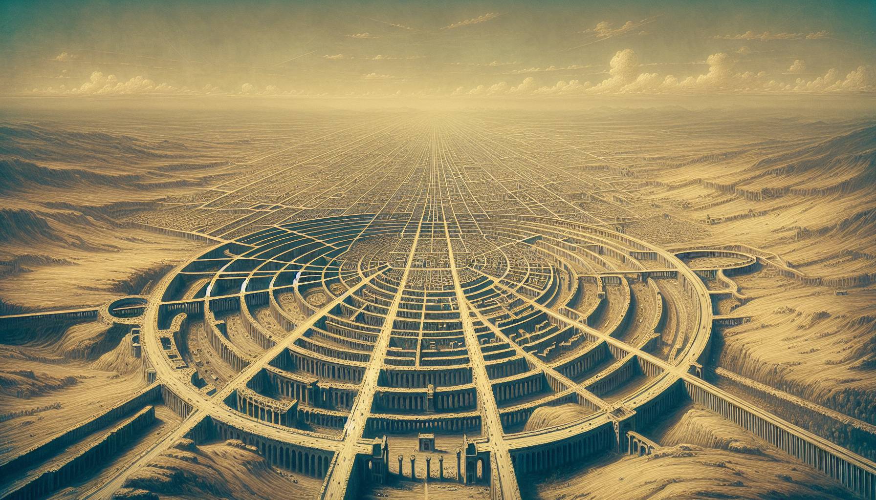
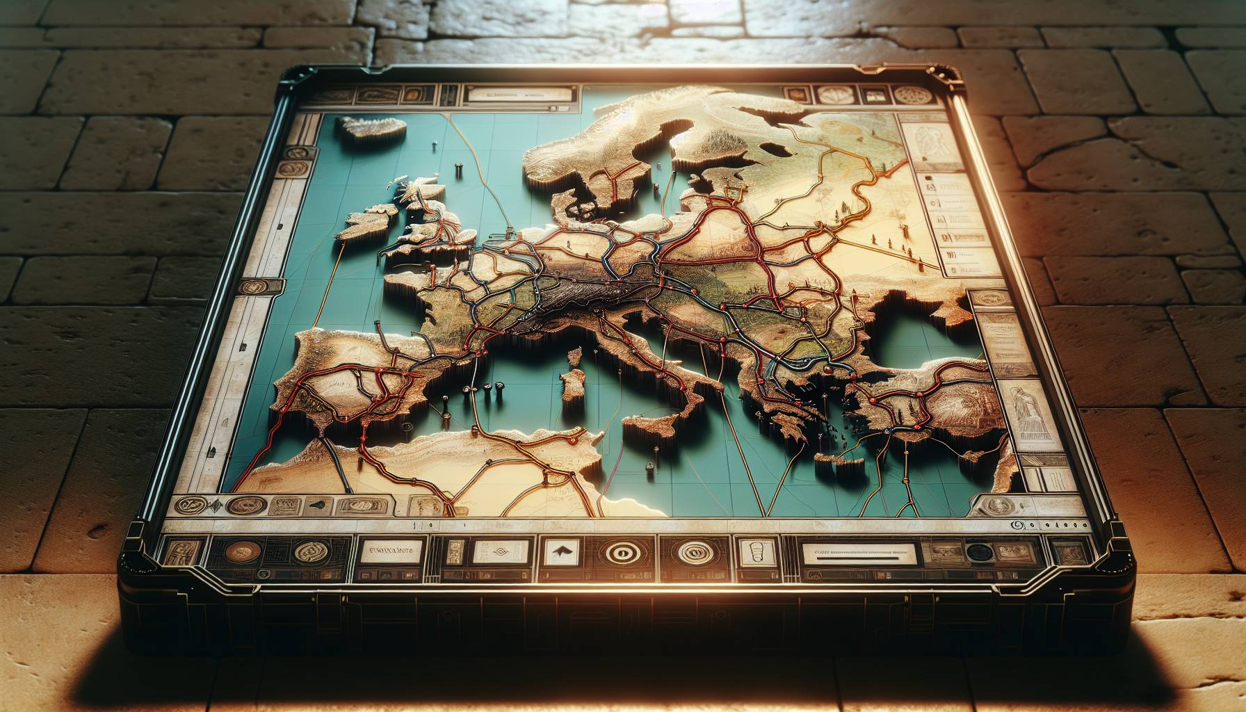
Thenewworkshowsnearly 186,000 miles (300,000 kilometers) ofroadsacrosstheextentoftheRomanEmpire, allowingtravelfromSpaintoSyria.
這項新研究顯示,羅馬帝國境內的道路總長近 186,000 英里(30 萬公里),連接著從西班牙到敘利亞的廣大地區。
Thestudyaddedalottoarchaeologists’knowledgeofancientroadsinNorthAfrica, theplainsofFranceandinthePeloponnesepeninsulaofGreece.
這項研究大大豐富了考古學家對北非、法國平原和希臘伯羅奔尼撒半島古代道路的了解。
“Thiswillbeaveryfoundationalworkforalotofotherresearch,” saidarchaeologistBenjaminDuckeoftheGermanArchaeologicalInstituteinBerlin, whowasnotinvolvedintheproject.
「這將是對許多其他研究的奠基性工作,」柏林德國考古研究所的考古學家本傑明·杜克說道,他並未參與該計畫。
Butonecaveat, hesaid, isthatit’sstillnotclearifalltheroadswereeveropenandactiveatthesametime.
但他表示,需要注意的是,目前還不清楚所有道路是否曾經同時開放通行。
BeingabletovisualizetheancientroutesthatRomanfarmers, soldiers, diplomatsandothertravelerstookwillprovideabetterunderstandingofkeyhistoricaltrendsthatdependedonthemovementofpeopleduringRomantimes, saidBrughmans, includingtheriseofChristianityacrosstheregionandthespreadofancientoutbreaks.
布魯曼斯表示,能夠了解羅馬農民、士兵、外交官和其他旅行者走過的古代路線,將有助於更好地理解羅馬時代依賴人口流動的關鍵歷史趨勢,包括基督教在該地區的興起和古代疫情的蔓延。

“TheRomansleftahugeimpactwiththisroadnetwork,” whichcreatedtheblueprintformanyroadsstillinusetoday, saidstudyco-authorandarchaeologistAdamPažoutoftheAutonomousUniversityofBarcelona.
“羅馬人留下了巨大的道路網絡影響,”該研究的合著者、巴塞羅那自治大學的考古學家亞當·帕佐特說,“它為今天仍在使用的許多道路創造了藍圖。”
Romanengineeringfeatstobuildandmaintainroads—includingarchedstonebridgesandtunnelsthroughhillsides—stillshapethegeographyandeconomyoftheMediterraneanregionandbeyond, hesaid.
他說,羅馬人修建和維護道路的工程壯舉——包括拱形石橋和穿過山坡的隧道——至今仍影響著地中海地區及其他地區的地理和經濟。
TheHealthandScienceDepartmentreceivessupportfromtheHowardHughesMedicalInstitute’sDepartmentofScienceEducationandtheRobertWoodJohnsonFoundation.
健康與科學係得到了霍華休斯醫學研究所科學教育部和羅伯特伍德約翰遜基金會的支持。
issolelyresponsibleforallcontent.
本人對所有內容負全部責任。
As the saying went, all roads once led to Rome — and those roads stretched 50% longer than previously known, according to a new digital atlas published Thursday.
The last major atlas of ancient Roman road networks was published 25 years ago.
Since then, advances in technology and other newly accessible sources have greatly expanded researchers’ ability to locate ancient roadways.
Over five years, a team of archaeologists combed through historical records, ancient journals, locations of milestones and other archival data.
Scientists then looked for clues in satellite imagery and aerial photography, including recently digitized photos taken from planes during World War II.
When ancient accounts hinted at lost roads in a certain area, researchers analyzed the terrain from above to spot subtle traces — things like faint differences in vegetation, soil variations or shifts in elevation, as well as traces of ancient engineering like raised mounds or cut hillsides — that revealed where Roman lanes once ran.
“It becomes a massive game of connecting the dots on a continental scale,” said Tom Brughmans, an archaeologist and co-author of the study published in Scientific Data.
The data and an interactive digital map are also available online for scholars, history teachers or anyone with an interest in ancient Roman history.
Earlier research had focused on “the highways of the Roman Empire” — the large thoroughfares most often mentioned in familiar historical accounts, said Brughmans.
The updated map fills in more obscure details about “secondary roads, like the country lanes, that connected villas and farms” and other locations, said Brughmans, who’s based at Aarhus University in Denmark.
Researchers previously tallied the extent of Roman roads as covering around 117,163 miles (188,555 kilometers).
The new work shows nearly 186,000 miles (300,000 kilometers) of roads across the extent of the Roman Empire, allowing travel from Spain to Syria.
The study added a lot to archaeologists’ knowledge of ancient roads in North Africa, the plains of France and in the Peloponnese peninsula of Greece.
“This will be a very foundational work for a lot of other research,” said archaeologist Benjamin Ducke of the German Archaeological Institute in Berlin, who was not involved in the project.
But one caveat, he said, is that it’s still not clear if all the roads were ever open and active at the same time.
Being able to visualize the ancient routes that Roman farmers, soldiers, diplomats and other travelers took will provide a better understanding of key historical trends that depended on the movement of people during Roman times, said Brughmans, including the rise of Christianity across the region and the spread of ancient outbreaks.
“The Romans left a huge impact with this road network,” which created the blueprint for many roads still in use today, said study co-author and archaeologist Adam Pažout of the Autonomous University of Barcelona.
Roman engineering feats to build and maintain roads — including arched stone bridges and tunnels through hillsides — still shape the geography and economy of the Mediterranean region and beyond, he said.
The Health and Science Department receives support from the Howard Hughes Medical Institute’s Department of Science Education and the Robert Wood Johnson Foundation.
is solely responsible for all content.
播放
或點擊任何段落開始播放